
Digital real estate • 5 min read
Using Maps to Evaluate a UAE Property’s Everyday Convenience
Compare the journeys your household will actually make, from the correct entrance to the final destination. Use map estimates carefully and verify the route on the ground.
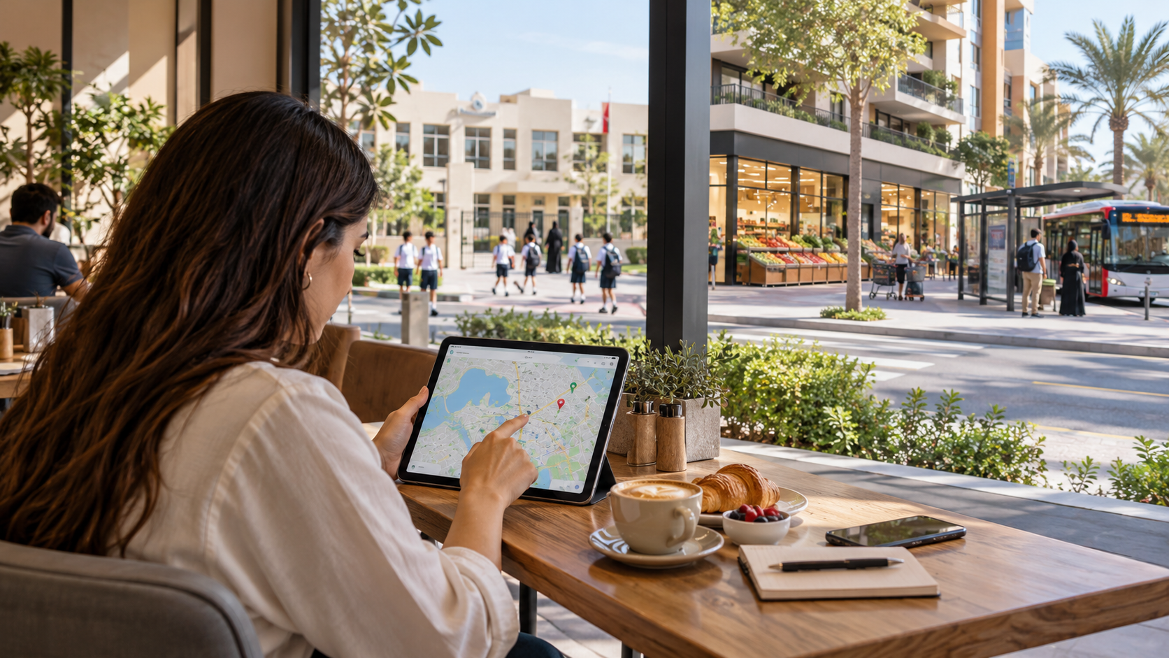
A property can look close to everything on a map and still make an ordinary journey awkward. The building entrance may face the wrong road, the pedestrian route may require a detour, or parking at the destination may add time that a simple location search does not show.
Maps are valuable for building a shortlist, especially when you are unfamiliar with an area. Use them to investigate a routine rather than collect nearby pins. The useful question is not how many amenities sit within a circle, but how reliably and comfortably you can reach the places that matter to you.
01Choose the destinations that shape your week
List the places you visit repeatedly: work, school, groceries, family commitments and activities. Include destinations used by different household members. A location that is convenient for one person's commute may create a difficult routine for another.
Record the likely day, time and transport mode for each journey. Separate regular trips from occasional ones so a nearby landmark does not dominate the decision simply because it is easy to recognise. If your future routine is uncertain, compare a few plausible versions rather than pretending there is one fixed pattern.
For a family move, the school-focused home-search guide helps identify journeys that need checking before a neighbourhood becomes the favourite. Keep admissions and service availability separate from physical proximity: a nearby place is not automatically available to you.
02Start and finish at the correct access points
Confirm the actual building entrance, vehicle access and pedestrian exit. A map pin at the centre of a development may be convenient for browsing but unsuitable for testing a daily journey. Ask the property contact to identify the correct access points and verify them during a visit.
Do the same at the destination. A school entrance, office parking access or supermarket door may sit on a different side of the site from the place label. Include the part of the journey between parking and the final door.
Check whether a tempting shortcut is public, open and suitable for your needs. Do not infer a right of access from an apparent path on satellite imagery. Where access is controlled, ask the responsible operator and observe the permitted route rather than relying on a line drawn through the map.
03Compare the relevant time and transport mode
Google Maps' directions guidance explains how to choose travel modes and change departure or arrival time for supported single-destination routes using estimated traffic and schedules. Use the relevant settings rather than comparing one property at a quiet hour and another during a busy period.
Save the date, time and assumptions behind your comparison. Estimates are not promises about future traffic, transport availability or your actual journey. If public transport is part of the plan, check current details with the relevant operator as well.
Test both outward and return trips. A route that looks straightforward in one direction may work differently on the way back. Consider the whole routine, including any intermediate stop, rather than assuming that a single work commute describes the household's travel needs.
04Count the parts outside the main road journey
Consider a sample comparison. Home A has a twenty-minute road journey, twelve minutes from the apartment to departure and eight minutes from destination parking to the desk: forty minutes in total. Home B has a twenty-eight-minute road journey, four minutes before departure and three minutes after parking: thirty-five minutes overall.
The example figures show how to compare the complete journey from each home to the office. The home with the shorter road segment is not automatically the one with the shorter complete trip. Repeat the calculation using your own observed or clearly labelled estimated timings.
Keep waiting, walking and parking components visible instead of adding a mysterious buffer. Some parts may vary considerably. If the result is close, record a range of observations and explain the uncertainty rather than claiming that one address saves an exact number of minutes every day.
Swipe or use arrow keys to view all columns.
| Assumed component | Home A | Home B |
|---|---|---|
| Apartment to departure | 12 minutes | 4 minutes |
| Road journey | 20 minutes | 28 minutes |
| Parking to desk | 8 minutes | 3 minutes |
| Complete journey | 40 minutes | 35 minutes |
Example road time and complete journey
| Item | Value |
|---|---|
| Home A: road segment | 20 |
| Home A: complete journey | 40 |
| Home B: road segment | 28 |
| Home B: complete journey | 35 |
Unit: minutes per one-way journey
05Use street imagery as a dated preview
Look at crossings, entrances and the immediate surroundings where imagery is available, but check the capture date and attribution. Google's Street View policy explains that its imagery is not real time and may be months or years old. A clear image is not proof that the scene is unchanged.
Make a list of things to confirm locally: a crossing, shaded walking section, construction activity or the actual location of a service. Satellite and street views can guide the visit, but they do not settle comfort, access rights or current operating conditions.
Avoid judging a walk only by distance. Observe the permitted route, crossings and conditions at the times you expect to use it, taking appropriate care. Consider the needs of the person making the journey rather than assuming everyone experiences the same route in the same way.
06Let the map improve the viewing, then update it
Use your route notes to schedule a purposeful visit. Arrive through the relevant entrance, walk the permitted route to nearby services and test important journeys when practical. Follow actual road signs and regulations; a navigation suggestion does not override them.
Compare what you observed with the earlier estimates. Record differences without forcing the evidence to support the property you already prefer. If the daily routine works only under unusually favourable conditions, that deserves attention before a commitment.
For an overseas search, combine this work with the remote property-search plan. A local representative can help collect observations, but your own priorities still define convenience. A useful map is a starting point for those observations, not a substitute for understanding how life will move around the address.
Sources
Research reviewed 30 October 2026. Publication dates and measurement periods are provided with each source.
- Google Maps: directions, travel modes and departure-time estimatesOfficial help checked 30 October 2026; features and coverage vary
- Google: Street View imagery policy and capture ageOfficial policy checked 30 October 2026; imagery is not live
Property costs, ownership and contract terms vary by home. Speak with Aliyas about the details relevant to your search.